Hiking in La Gomera
La Gomera is a fantastic destination in the Canary Islands for hiking, do you want to know why? Read on!
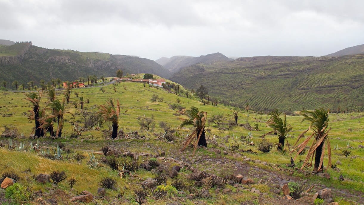
Gomeran landscape | ©Tony Hisgett
Countless travelers head for La Gomera attracted by its incredible biodiversity and the beauty of its almost untouched, wild and authentic nature.
Many choose to go hiking to get to know it and there is an extensive network of trails of different lengths and levels of difficulty so that all hikers can enjoy the island. I tell you what you should know about hiking in La Gomera.
1. What you should know before starting a route in La Gomera
When to go hiking in La Gomera?
All year round is good for hiking in La Gomera. The average temperature on the island is 22ºC all year round, being the climate temperate and pleasant of a mild tropical type.
Do you know the microclimates of La Gomera?
Something that will surprise you when hiking in La Gomera is that the landscapes and the temperature of the island vary greatly depending on where you are.
This is because there are several microclimates and knowing which ones exist in the area where you are or where you are going will help you to pack your suitcase and plan the routes and activities you will do during your stay:
-
The most notable microclimate is located in the interior of the island, where the Garajonay National Park is located. Humidity is high and temperatures are low.
-
The microclimate of the southern zone is sunnier with higher temperatures and the environment becomes drier. For this reason, many travelers find the southern beaches more attractive for a dip.
-
The microclimate of the northern area of the island becomes milder and more stable. In this part of La Gomera the land is fertile for agriculture and vegetation abounds.
Is there a lot of tourism for hiking in La Gomera?
Hiking is a very popular activity in La Gomera. The highest levels of tourism in the Canary Islands occur in the summer and winter.
However, unlike other parts of Spain, La Gomera is an island that is far from mass tourism, so you will not feel the crowds here for hiking. It's really a place to relax and connect with yourself and nature.
What is the experience of hiking in La Gomera like?
The island has more than 600 kilometers of trails of all types (circular, linear, bicycle...) and for all levels, which are very well preserved and generally well marked.
In the tourist offices of La Gomera you can get the map of trails of the island or get it on the Internet. Take it with you on your cell phone, although I also recommend that you take it on paper in case the battery runs out.
Along with whale watching, visiting its charming villages and beautiful beaches, hiking is one of the best things to do in La Gomera.
2. Route through Raso de la Bruma - Risquillos de Corgo - Raso de la Bruma

Being a low difficulty trail it is ideal for beginner hikers or for families with children.
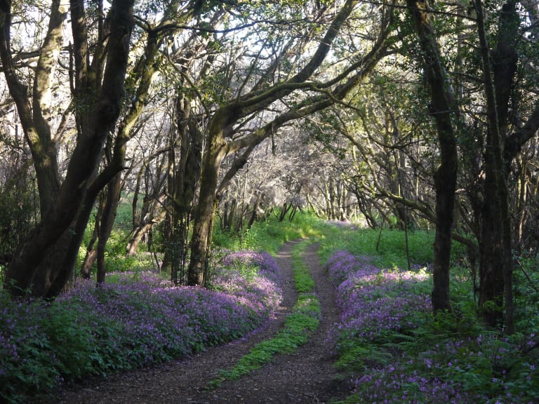
On route number 12 of the Garajonay National Park you will see laurel forests and mossy soils shrouded in mist, which gives the landscape a magical aspect, as if it were an enchanted place!
Then the trail goes to Risquillos de Corgo, where you will find a viewpoint with spectacular panoramic views of the Vallehermoso Basin. Although if you prefer you can book a route through the Garajonay National Park to go in the company of an expert guide and visit more areas of the park.
- Difficulty: Low
- Duration: 40 minutes
- Length: 1.2 kilometers
- Starting and finishing point: Raso de la Bruma parking lot.
- Type of landscape: Laurisilva and fayal-brezal forests
3. Route through Garajonay National Park: Pajaritos - El Cedro - Tajaqué

Route 18 of the Garajonay National Park is one of the longest and most famous routes in La Gomera.
Given its high difficulty, it is not recommended for families with children or beginner hikers, but if you are an expert hiker, do not hesitate! Even so, it is a path without large slopes and easy to follow.
In my opinion it is one of the most beautiful routes for its variety of landscapes where you can see forests of Fayal Brezal, Laurisilva de Ladera, Monteverde and Cumbres heaths. On this route you can also see the Benchijigua and Guarimiar ravines.
- Difficulty: High
- Duration: 9 hours and 10 minutes
- Length: 16.1 kilometers
- Start and end point: begins and ends at the Alto de Pajarito (it is circular).
- Type of landscape: Laurisilva and fayal-brezal forest.
4. Cañada de Jorge Route

The route 10 Cañada de Jorge, of circular type and with a duration of 1 hour and 20 minutes, will allow you to know the particularities of the southern area of the Garajonay Park. It is perfect if you do not have much time to go hiking but do not want to miss the opportunity to do so.
Most of the trail runs through a forest of fayal - heather, a type of vegetation related to the laurel forest but less humid.
It is a very relaxing walk.
- Difficulty: Low
- Duration: 1 hour and 20 minutes
- Length: 3.2 km
- Start and end point: Cañada de Jorge
- Type of scenery: Fayal - heathland
5. Contadero - Alto de Garajonay - Contadero Route

If you want to enjoy one of the most beautiful views of La Gomera, you have to do the route 7 that leads to the Alto de Garajonay, the highest point of the island. It is suitable for most hikers of all ages.
Along route 7 you will be able to see the beautiful views of the landscapes of the peaks of La Gomera and the surrounding islands (El Hierro, La Palma and Tenerife) until you reach the highest point of the Garajonay Park.
From here you will not only enjoy a spectacular panoramic view of the park and the island, but you can also visit several archaeological sites related to ancient ceremonial centers of the Gomeran population that inhabited the island centuries ago.
- Difficulty: Medium
- Duration: 1 hour
- Length: 2.5 km
- Starting and ending point: Contadero
- Type of landscape: young heathland fayal
6. What to bring for hiking in La Gomera?
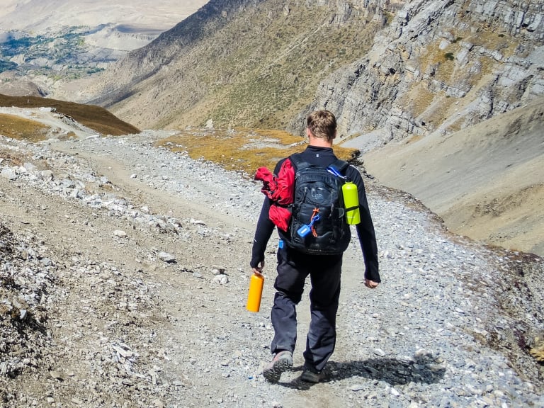
As in any excursion you do in nature it is important to be well equipped for what could happen during the tour. For hiking in La Gomera my advice is to take the following things:
- A backpack: that is comfortable and can be attached to the waist so that it does not collide with your back when you walk. It should be made of a waterproof fabric in case you get caught in the rain and if possible with many pockets.
- First aid kit, sunscreen, a cap, cell phone and portable battery.
- Trekking poles: it is very useful as it reduces leg fatigue, helps to maintain balance and better distributes the weight of the body.
- Comfortable clothing: not too loose or tight-fitting so that you can move easily in nature. It is also a good idea to bring some warm clothes and a raincoat in case it rains.
- Comfortable shoes: it is best to wear shoes that you have already broken in and are comfortable. Choose shoes that support the ankle and have thick, waterproof soles.
- Socks: better not made of thin fabric to avoid chafing.
- Snacks and drinks: don't wait until you are thirsty during the hike and stay well hydrated. Also, to keep your strength up, take some nuts, dried fruit, chocolate, cookies or energy bars.
7. Is it possible to hike in La Gomera with children?

Totally! Hiking in La Gomera is a fantastic plan to do with children, especially if they like to go hiking. It will be a very special experience for them because they will see unique landscapes, they will be able to play outdoors and have a great time with the family.
When choosing where to go hiking on the island with the family, it is best that parents opt for a simple route that can be done in half a day so they do not get tired and so they can spend the rest of the day doing other activities that they also like.
In addition to the two easy routes that I have left in this post, another option for hiking in La Gomera with children is the path that connects Las Hayas with El Cercado, in Valle Gran Rey.
8. We compare the most popular hiking trails in La Gomera

Although some travelers choose to hike La Gomera on their own, if it is the first time you visit the island and do not know where to start my advice is to join an organized tour, such as booking a route through the Garajonay National Park
This allows you to combine the adventure of hiking with learning about the different species that live here and that make the island a unique and special place in the world.
- Raso de la Bruma - Risquillos de Corgo - Raso de la Bruma
- Difficulty: Low
- Duration: 40 minutes
- Length: 1.2 kilometers
- Beginning and end: Raso de la Bruma
- Scenery: Laurisilva and fayal-brezal forest.
- Garajonay National Park: Pajaritos - El Cedro - Tajaqué
- Difficulty: High
- Duration: 9 hours and 10 minutes
- Length: 16,1 kilometers
- Start and finish: Alto de Pajarito.
- Landscape: Laurisilva and fayal-brezal forest.
- Cañada de Jorge Route
- Difficulty: Low
- Duration: 1 hour and 20 minutes
- Length: 3,2 km
- Start and end: Cañada de Jorge
- Landscape: Fayal - heathland
- Route Contadero - Alto de Garajonay - Contadero
- Difficulty: Medium
- Duration: 1 hour
- Length: 2,5 km
- Start and finish: Contadero
- Landscape: Fayal - young heathland